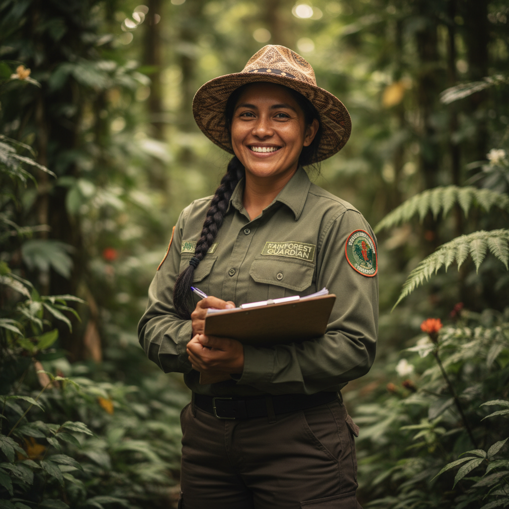
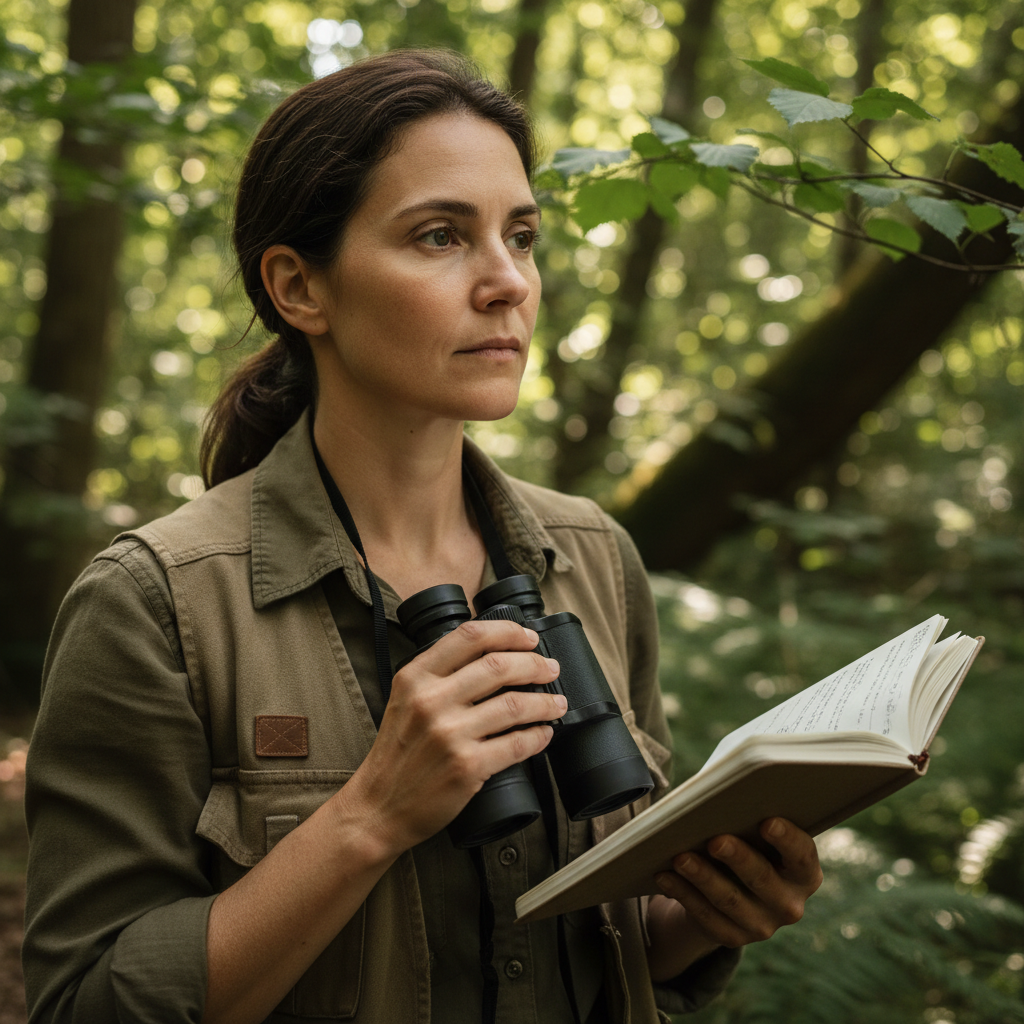
Valentina Ríos
−3.1478°, −60.0212°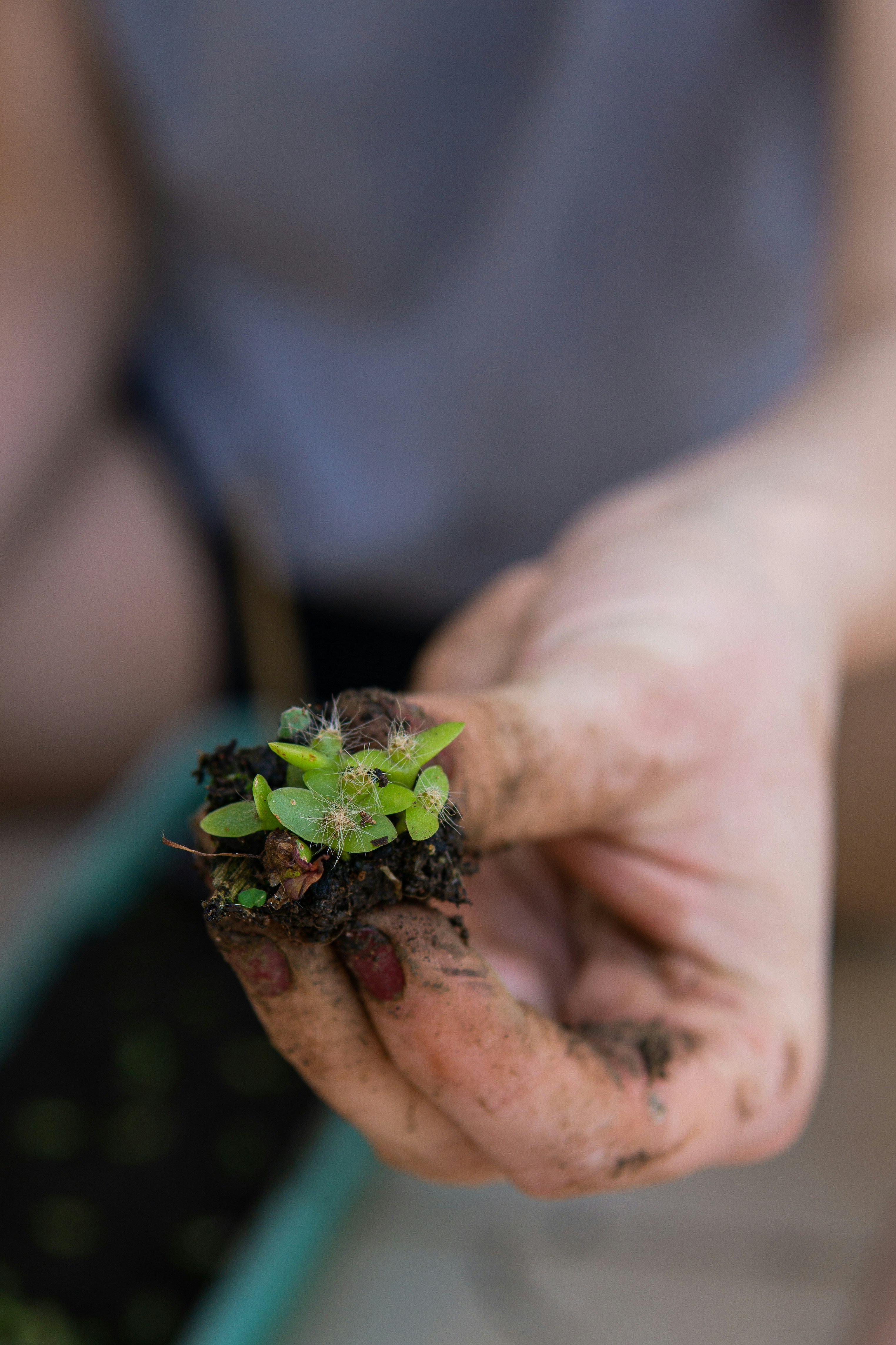
Marcos Tupinambá
−4.2891°, −62.1034°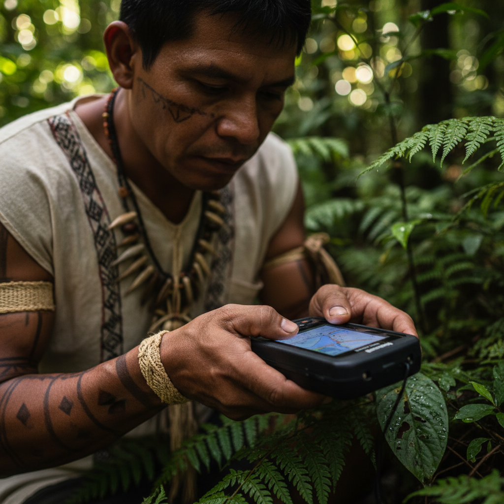
Apurinã Monitor Team
−5.5023°, −63.8841°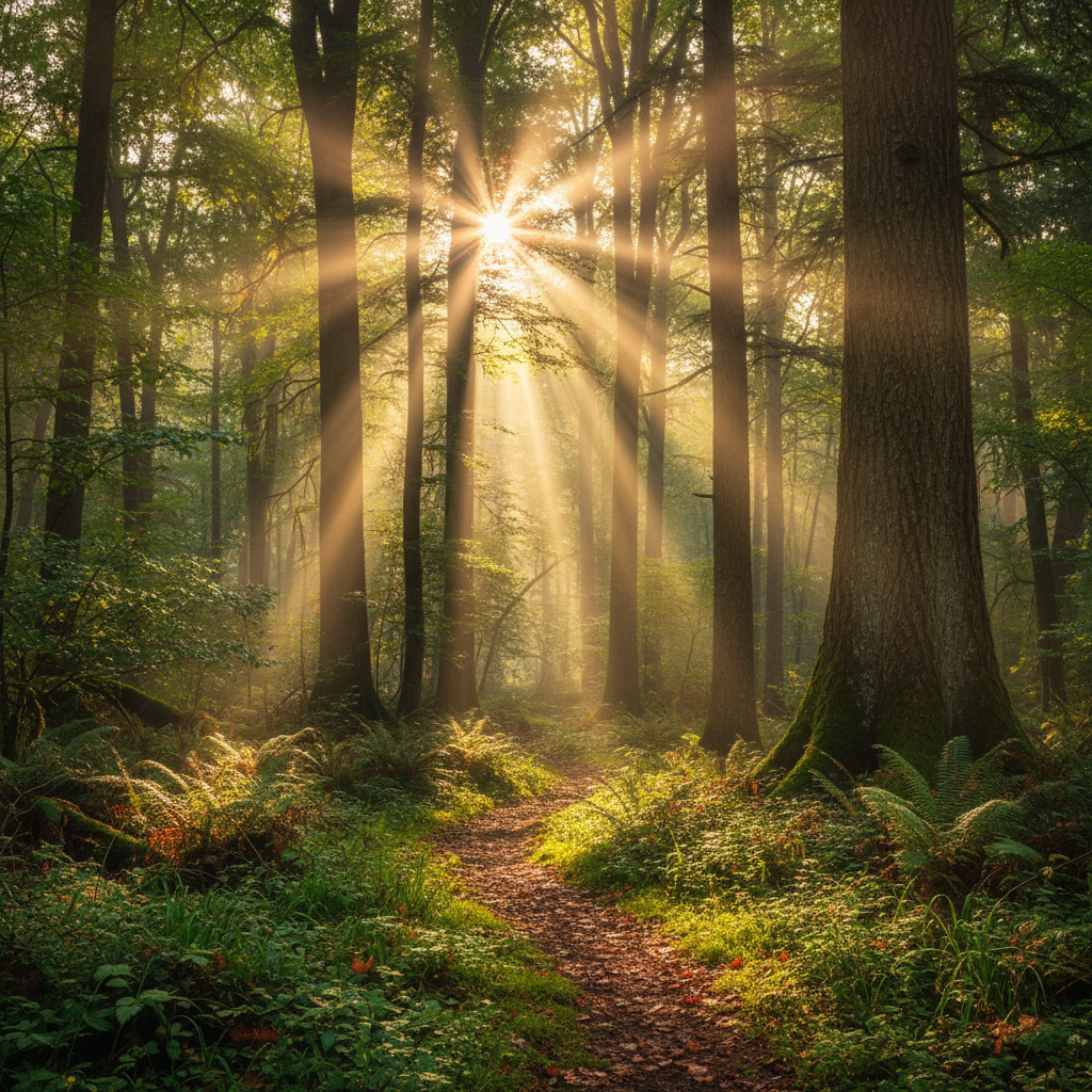
Dr. Amara Osei
−2.9901°, −59.7743°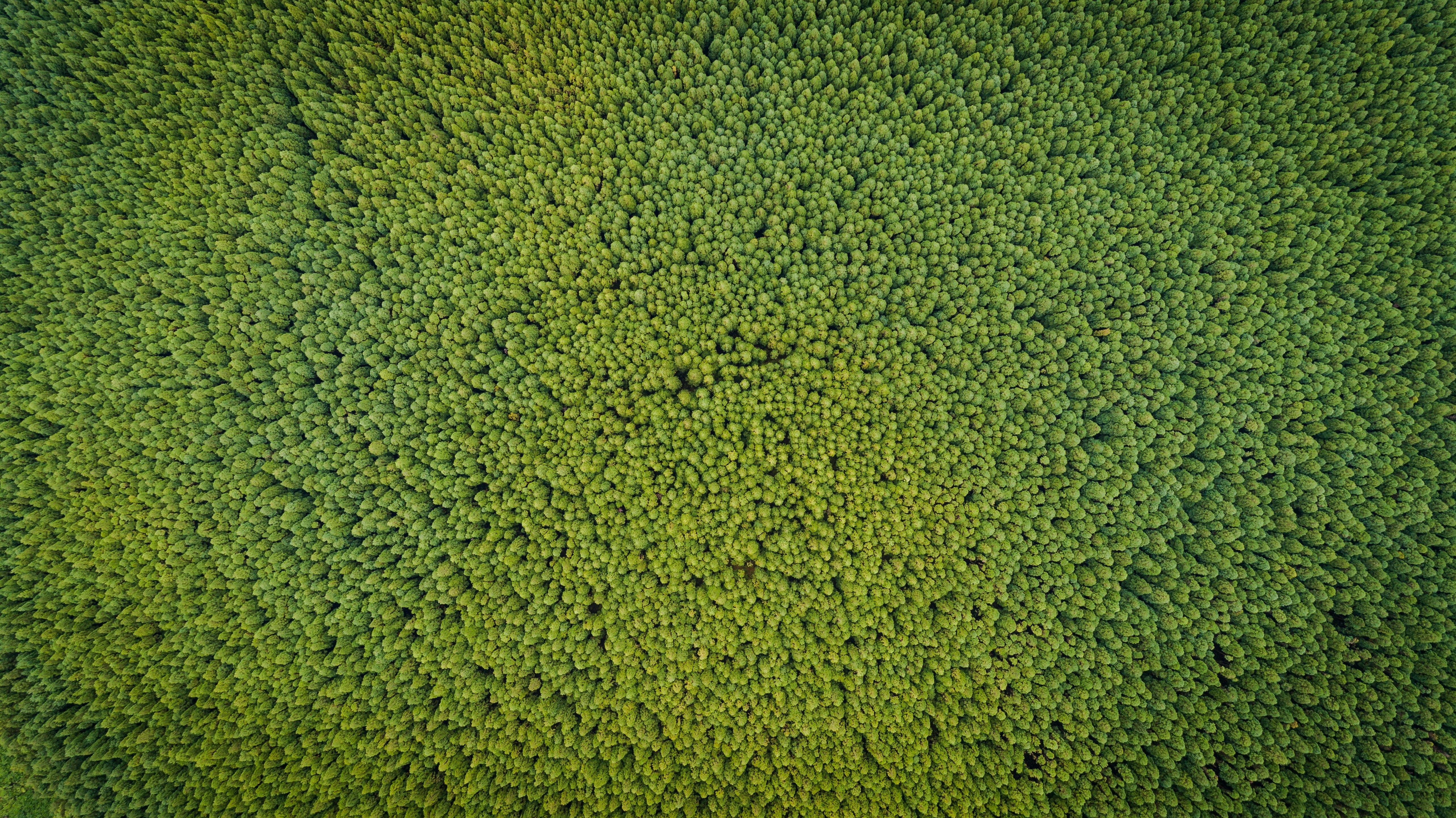
Canopy Air Survey
−3.6712°, −61.2290°
Lucía Mamani
−6.1034°, −64.5521°
Camera Trap Network
−4.8802°, −62.9934°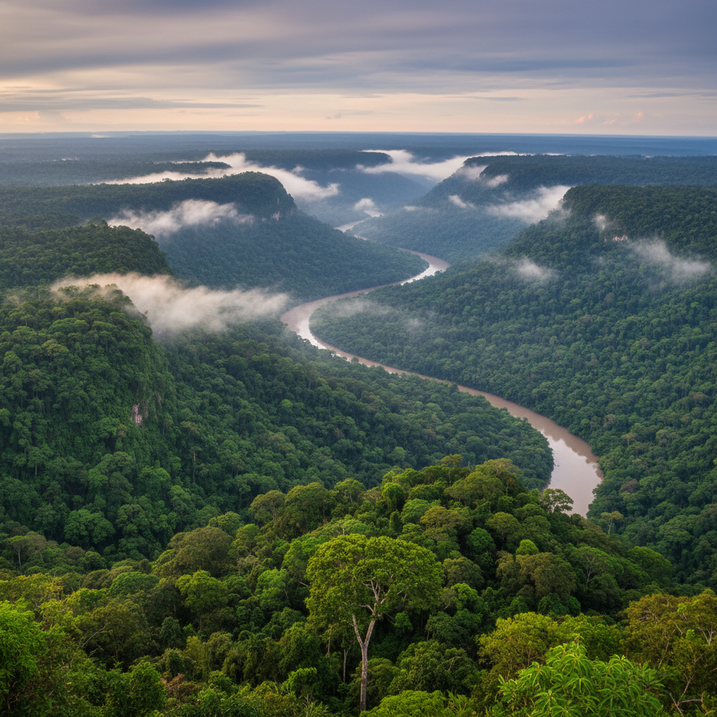
Yuki Tanaka
−2.4401°, −58.8820°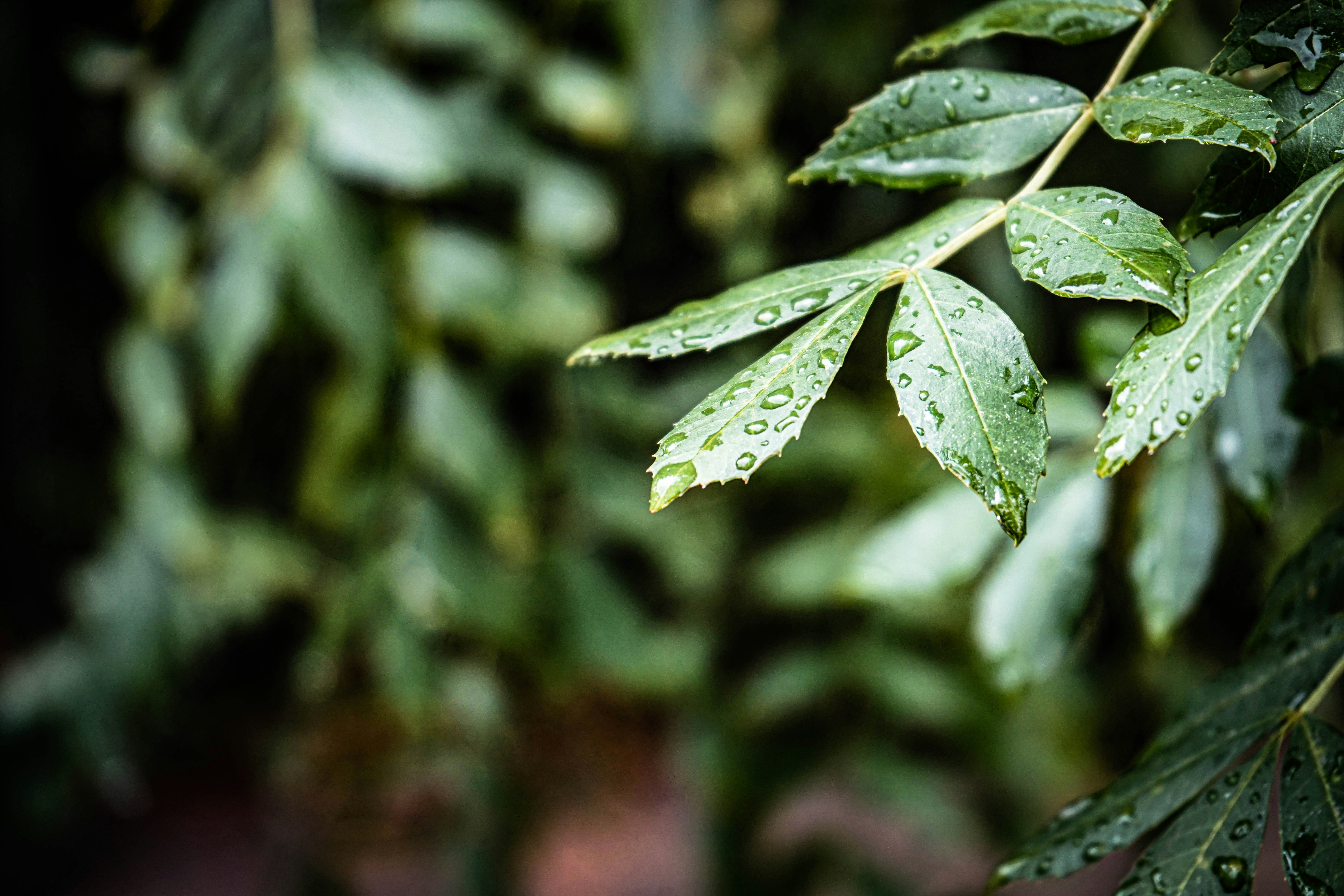
Chioma Eze
−5.2301°, −63.1100°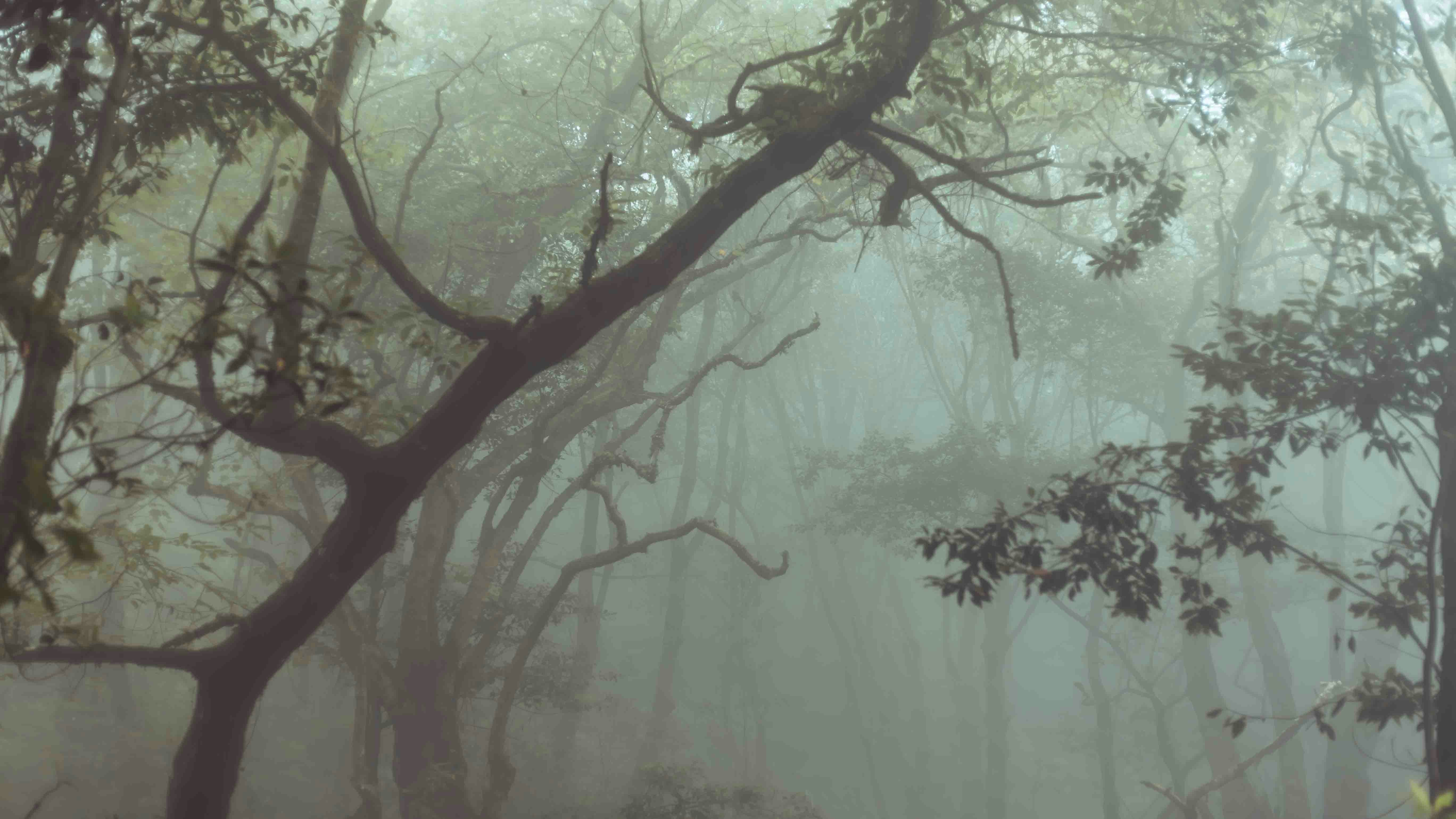
Ravi Shankar Nair
−3.8901°, −61.7721°
Field Team Bravo
−4.5501°, −62.3312°
Corridor 9 Team
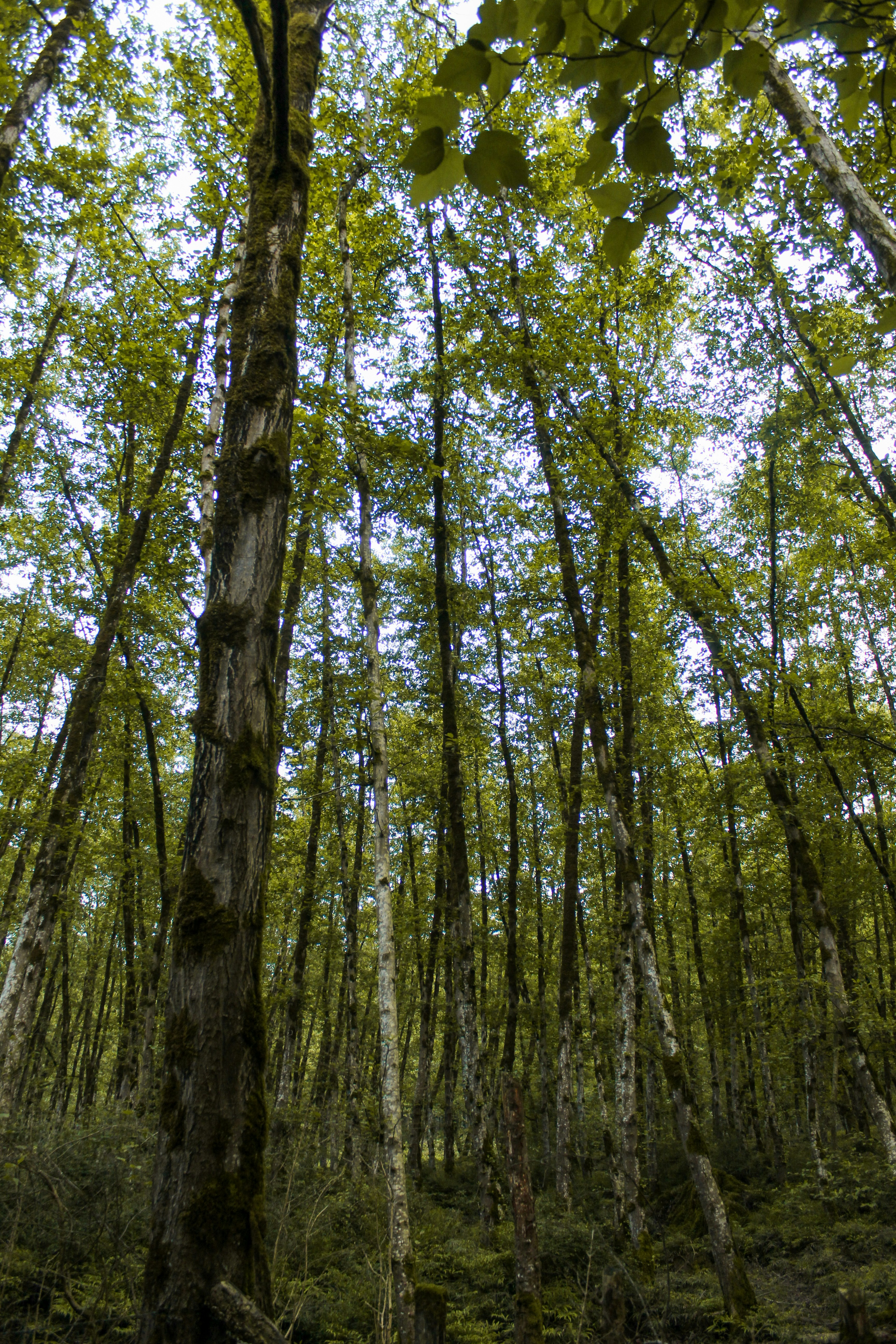
−5.9001°, −64.0010°Inside the forest.
Not watching from outside it.
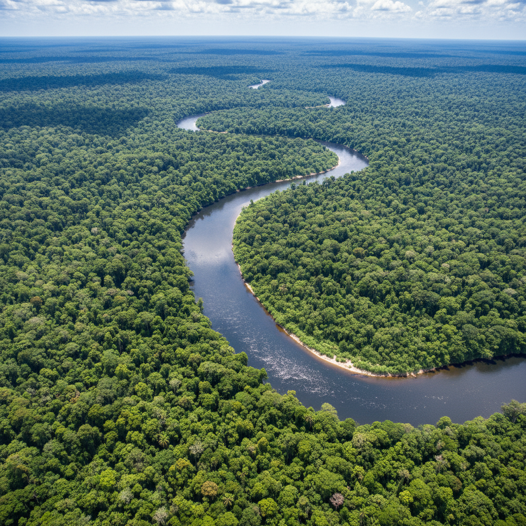
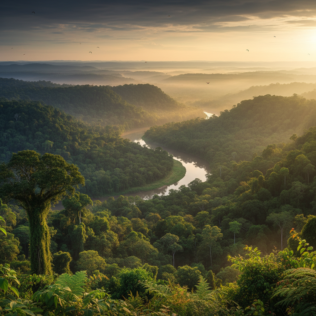
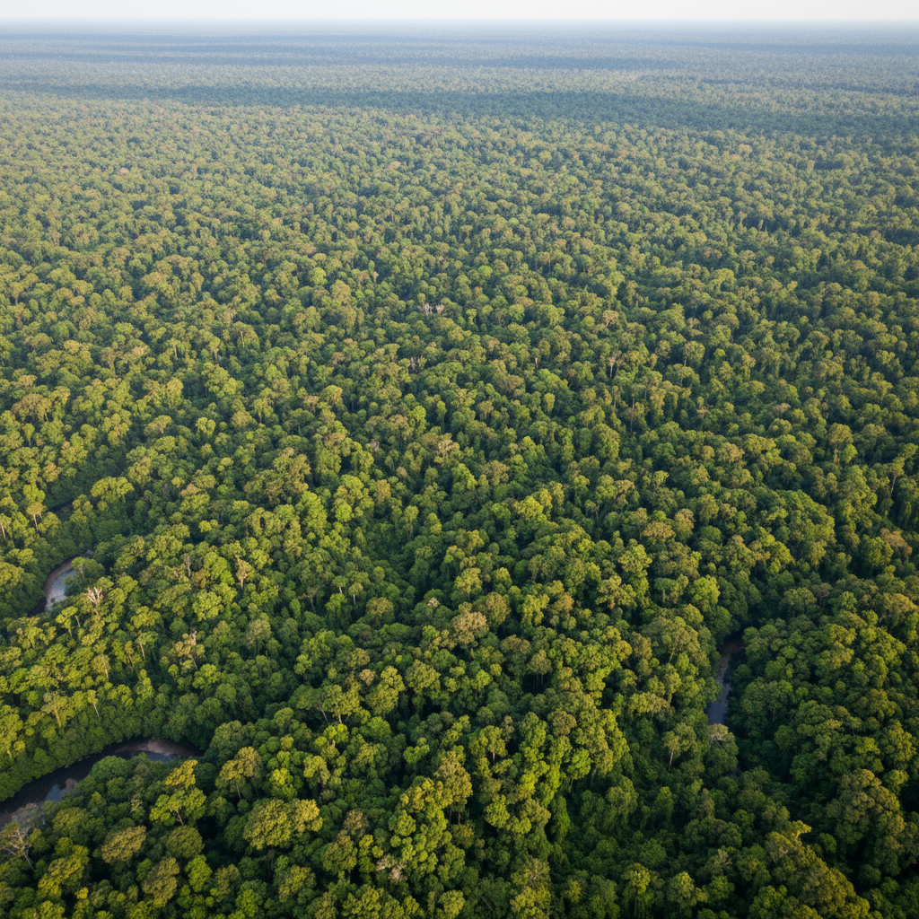
Field teams stationed inside threatened corridors — tagging species, training indigenous monitors, and blocking illegal logging roads with legal presence and satellite evidence.
These are the people
already in the forest.
Valentina Ríos
"My grandfather walked these trails before there were trails. Now I walk them with a GPS and a camera and I send the data to satellites. The forest doesn't care about the technology. It just needs someone watching."
3,240
184
Corridor 7
−3.14° / −60.02°
"Forty-seven thousand hectares. Twelve monitors. One illegal road attempt, stopped in 72 hours."
47,000
Hectares protected
Satellite confirmed · Q4 2025
11
Logging incidents blocked
Satellite confirmed · Q4 2025
Marcos Tupinambá
"We found three species of orchid in a 200-meter stretch that had no prior documentation. The forest is not dying — it's hiding. My job is to prove it's still here."
23
16
Corridor 12
−3.67° / −61.23°
"Dawn patrol over 62,000 hectares. The mist burns off by 8 a.m. By then, three teams have already checked in."
62,000
Hectares protected
GPS verified · Jan 2026
34
Camera trap deployments
GPS verified · Jan 2026
Dr. Amara Osei
"I spent eight years publishing papers about deforestation. Then I came here and realized the data only matters if someone is standing in the forest making it. That's why I stayed."
412
6
There's a seat
at the table.
Find your nearest corridor
Nearest active corridor
Corridor 7
Amazonas, Brazil
"I entered my coordinates at 11 p.m. on a Tuesday. By Thursday morning I had a call with a team leader in Corridor 9 and a flight booked for March."
Dr. Priya Krishnamurthy
Conservation Biology, UC Davis → Corridor 9
34 active corridors. 112 indigenous monitors. One table.
Your seat is still available.